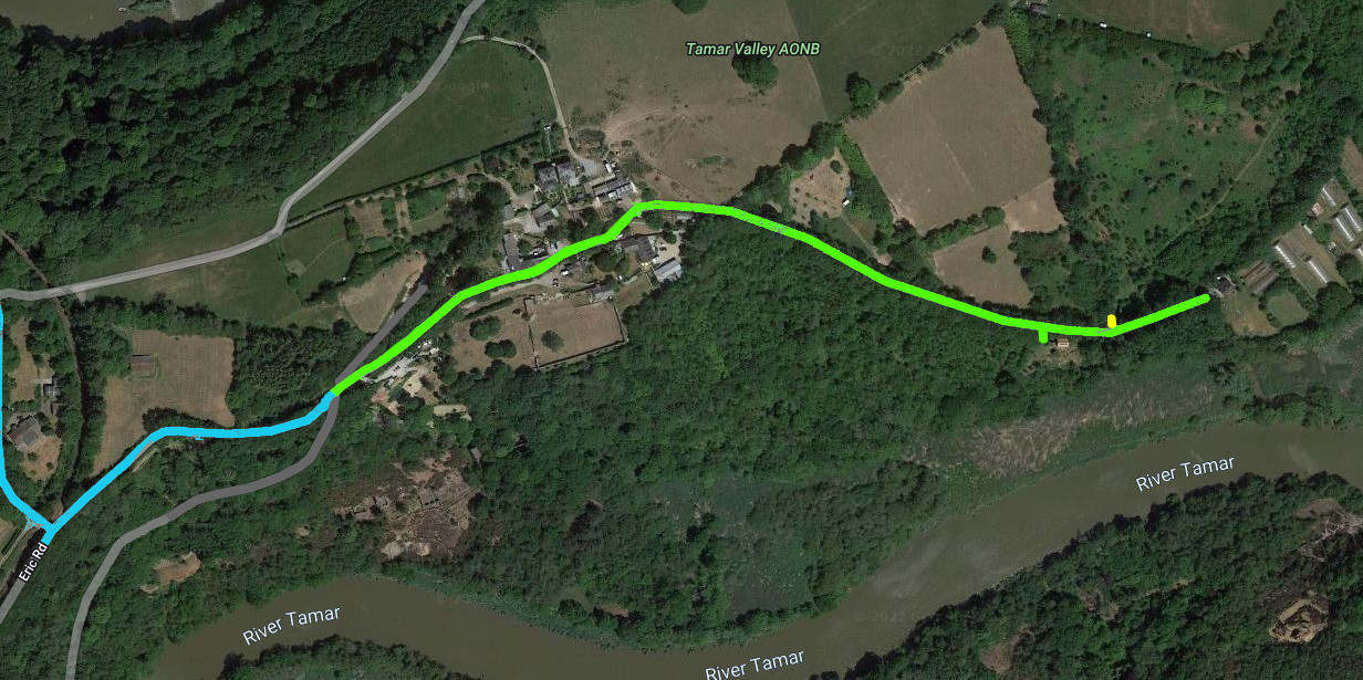
To the left of the map (west) is a junction on the blue road at the railway crossing;
To the right (east) near the end of the green track is a small green leg (south) where the entrance to the ELF residence: What3words
The yellow leg[north], a little further east, is the entrance to a turning area.Park and Turn
For track width and vehicle passingthe green dog-leg entranceSee this
If it's been raining call to ensure the ground is firm or there is an alternative. 07891940444 Blue is a tarmac public road. | Green is a private stone ballast track Details on the 'private' track
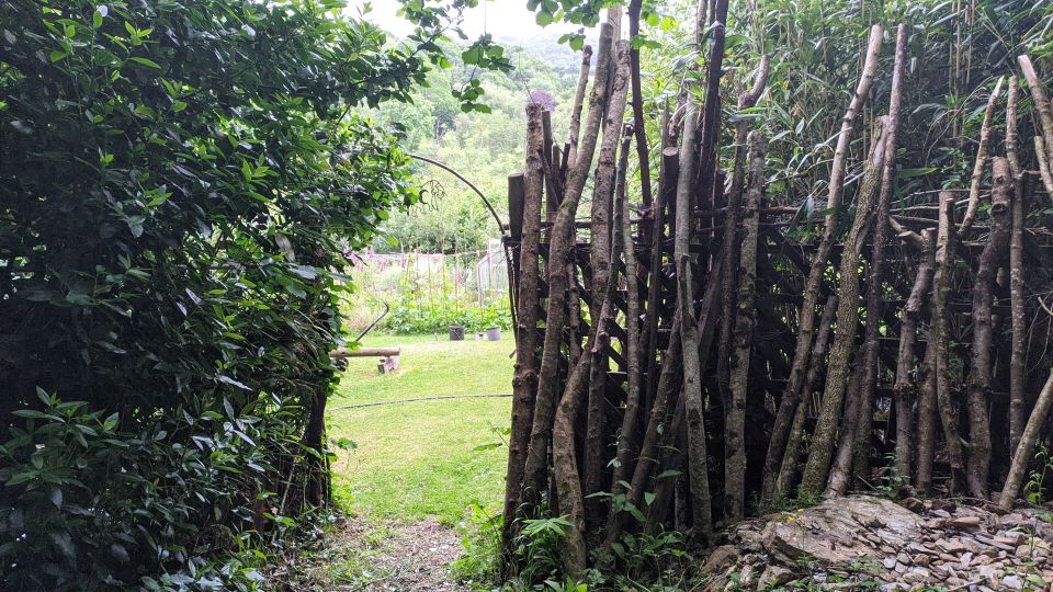
View south at the green dog leg
Some online maps have the wrong location, shown by the red circle, the correct location is the green circle
Here is a picture of a lorry on the track at the junction of the adopted tarmac road and the private track, within the red circle on the map above.














 Printer Friendly Layout


